
How to Inspect Your Roof Using Free Satellite Data — No Drone Required
By C. da Costa
October 13, 2025 · 2 min read
Image credit: Wikimedia
Key Takeaways
- USGS EarthExplorer offers 1-meter resolution aerial property images across the U.S. for free.
- Google Earth Pro provides historical imagery spanning 20+ years to track changes over time.
- Government satellites deliver detailed property views without the need to spend $1,500 on a consumer drone.
Why You Don’t Need an Expensive Drone
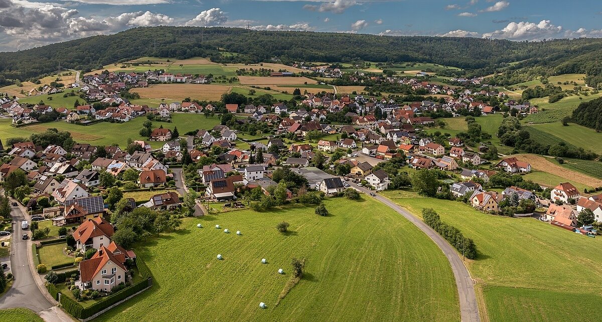
That shiny new consumer drone promising perfect aerial shots of your property? You can save the $1,500. Multiple government agencies and technology platforms have already captured your home from above — and the images are freely available.
Satellite and aerial imagery services allow you to inspect your roof, check storm damage, or plan renovations without leaving your desk.
Government Archives Outperform Consumer Gadgets
You don’t need Hollywood-level drone gear to inspect a roof. Free platforms like USGS EarthExplorer provide 1-meter resolution aerial photos via the National Agricultural Imagery Program (NAIP). These images are updated every few years and cover the entire U.S.
Steps to use USGS EarthExplorer:
- Create a free account.
- Enter your property address.
- Download aerial images to inspect shingles, gutters, and roof layout.
NASA’s Worldview offers daily satellite imagery and a user-friendly timeline slider, allowing you to see property changes over time. This is especially useful for reviewing storm damage or landscape changes, with pre- and post-event imagery available.
These datasets provide historical records that no consumer drone could match, capturing your neighborhood before and after you bought your house.
User-Friendly Options for Quick Roof Inspections
Google Earth Pro is an accessible option for most homeowners. Its Historical Imagery tool allows you to:
- Track changes in your property over two decades.
- Take high-resolution screenshots for insurance claims, renovation planning, or documentation.
European Space Agency’s Sentinel Hub Playground updates every five days with 10-meter resolution imagery, offering a social-media-like interface for quick neighborhood and landscape checks.
These tools are easy to use, require no technical expertise, and provide instant access to your property’s aerial view.
When Satellite Data Falls Short
While satellites are excellent for general inspections and historical reference, there are some limitations:
- Real-time precision: Satellites update every few days to years, not instantly.
- Close detail: For inspecting roof texture, minor damage, or immediate storm impact, commercial drones still provide superior detail.
For most homeowners, satellite imagery is more than sufficient. It’s free, reliable, and eliminates the need for costly drone equipment.
Practical Applications
- Roof inspections: Check for aging shingles, leaks, or storm damage.
- Insurance documentation: Capture pre- and post-event imagery for claims.
- Landscape planning: Track property and neighborhood changes over years.
- Historical research: See how your neighborhood evolved over decades.
Bottom Line
Your next home project doesn’t need a $1,500 drone. Government satellites and free platforms already provide detailed aerial imagery of your property — complete, accessible, and cost-free.
By leveraging these tools, you can inspect, document, and plan property work efficiently